Huiñac Punta
Update: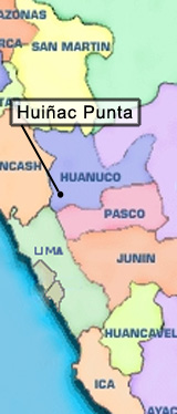
The Company received its principal permit - the DIA - in 2020, and subsequently filed its ‘Autorizacion de Incio de Actividades de Exploración’ with the Peruvian Ministry of Energy and Mines (“MEM”). With no advancement after responding to observations noted by the MEM, a follow up meeting with the MEM in June 2021 revealed that the delays in approval were being hampered by a shortage of personnel at MEM. To expedite the process, the Company retained Embellie, a consulting firm specializing in community identifications and impacts, to research, document, analyze, and report on the identification of any potential indigenous people within the area of our project, and any possible impacts to any community identified. The study and report were completed and filed with the MEM. A series of meetings was organized by the MEM with the two nearby communities as part of the ‘consulta previa’ process. Consulta previa is a regulated part of the initiation of activities in areas where exploration may impact indigenous people. The meetings have been concluded with one community, while the meetings with the second community, which has three satellite communities, were delayed due to the election of new authorities at the local/municipal level. We expect these meetings to take place in the first quarter of calendar 2023, and our approval to commence exploration activities to follow. In October 2022 we received notification from ANA (‘Autoridad Nacional de Aqua’) that our water permit for this project has been approved.
Location & Ownership:
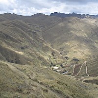
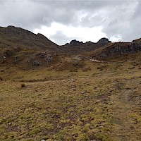
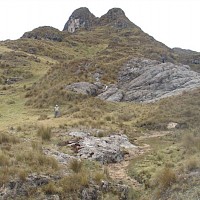
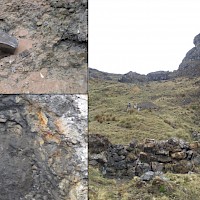
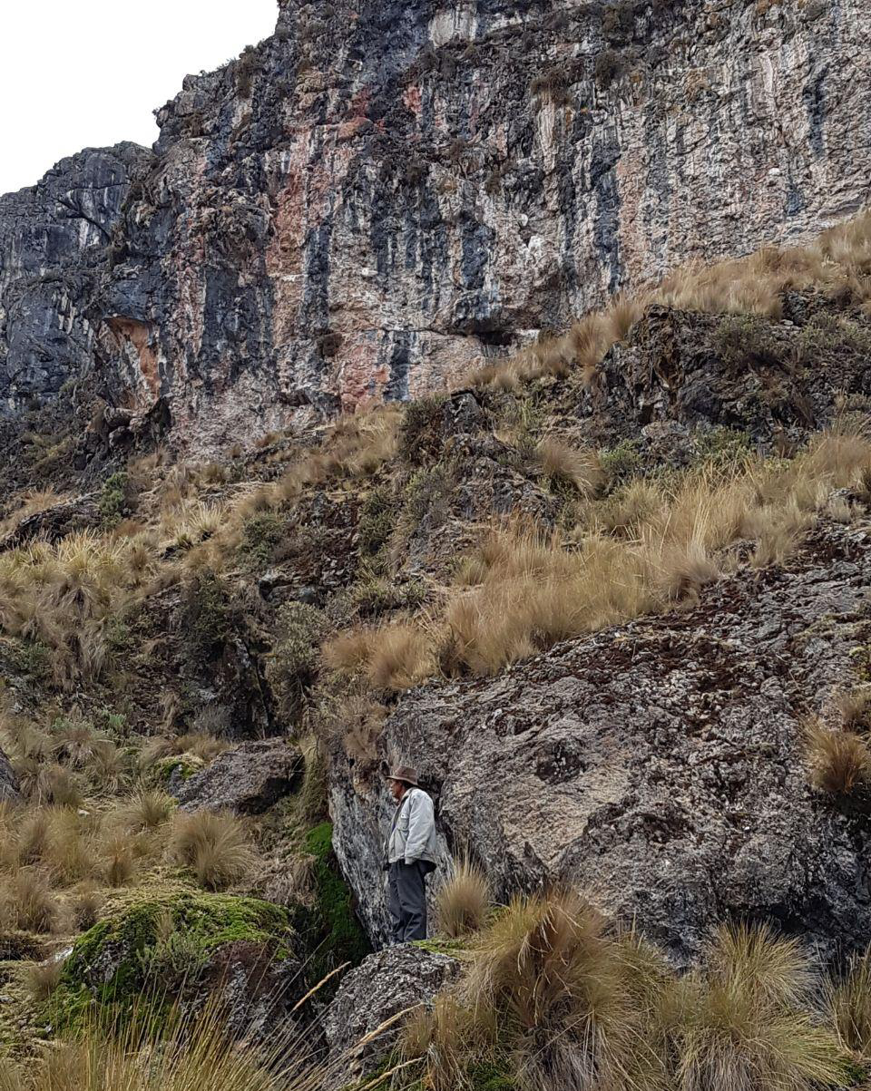
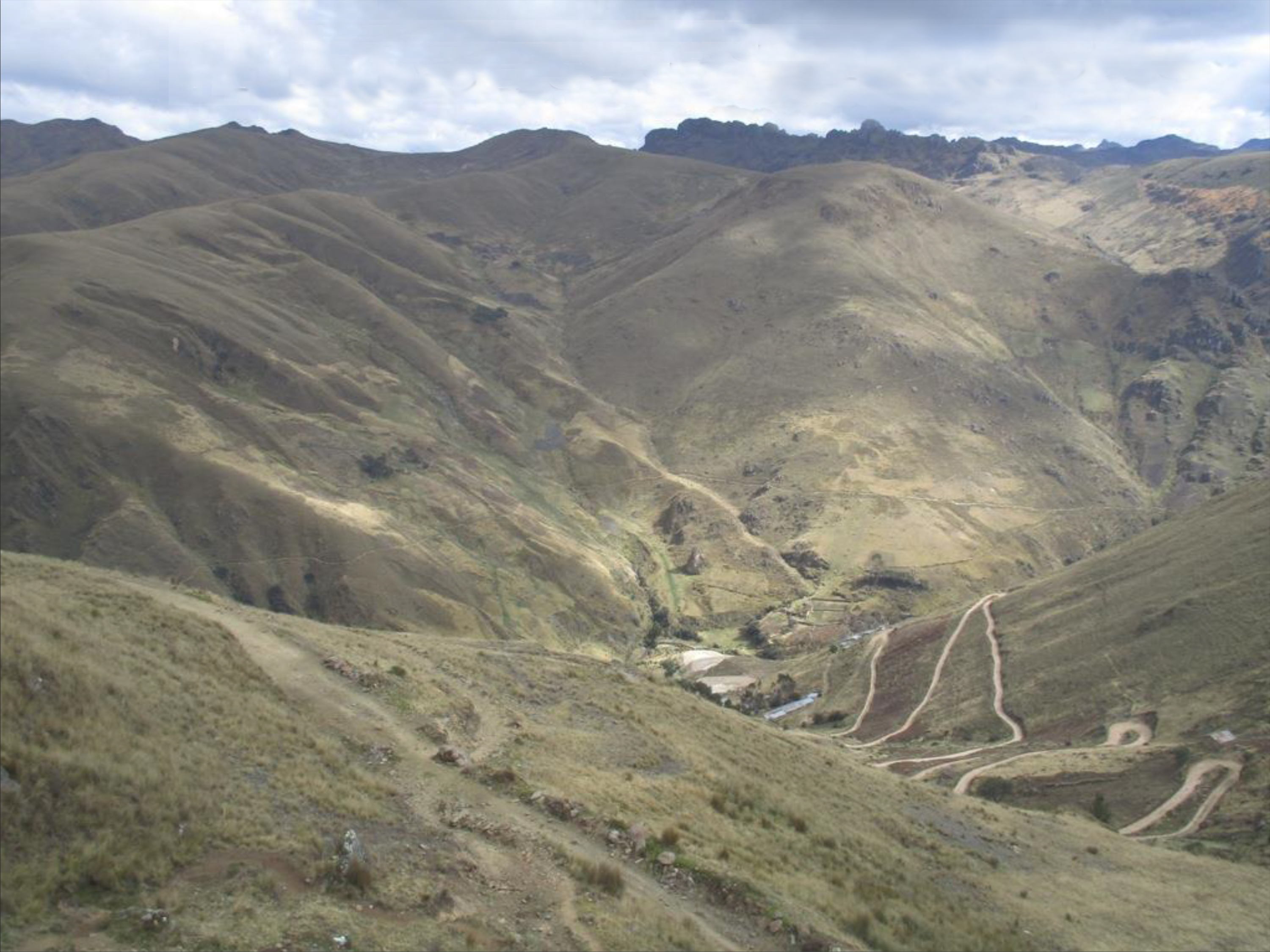
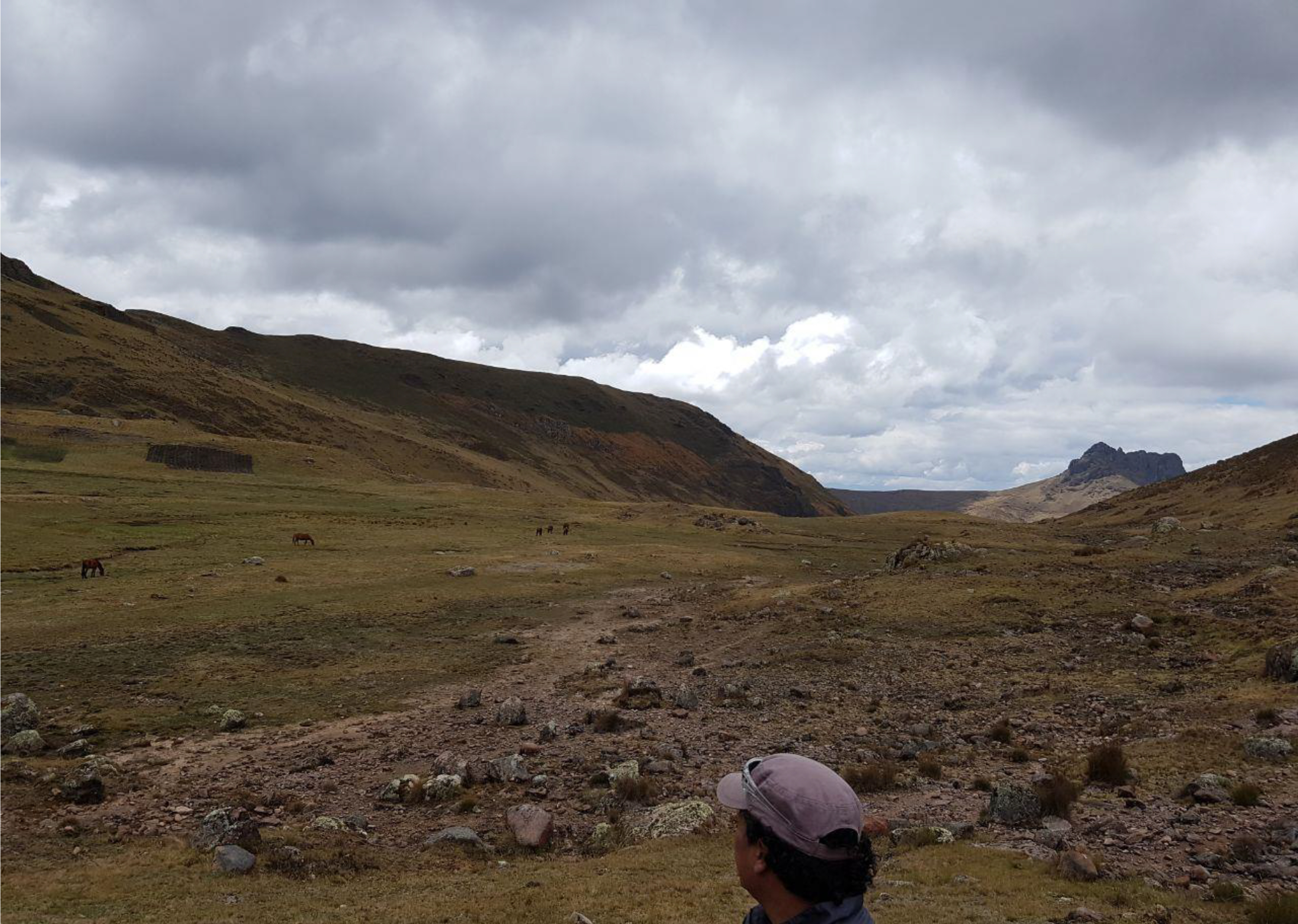
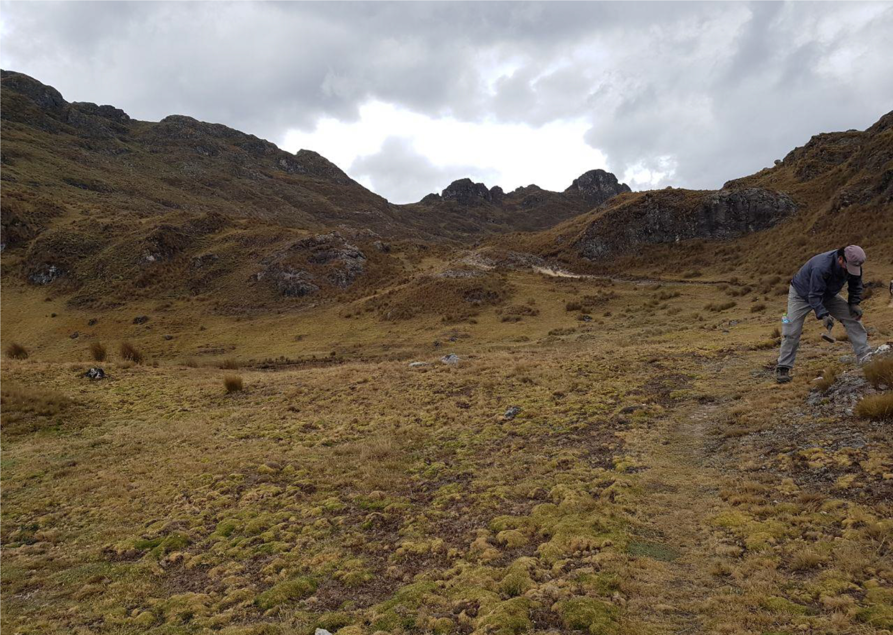
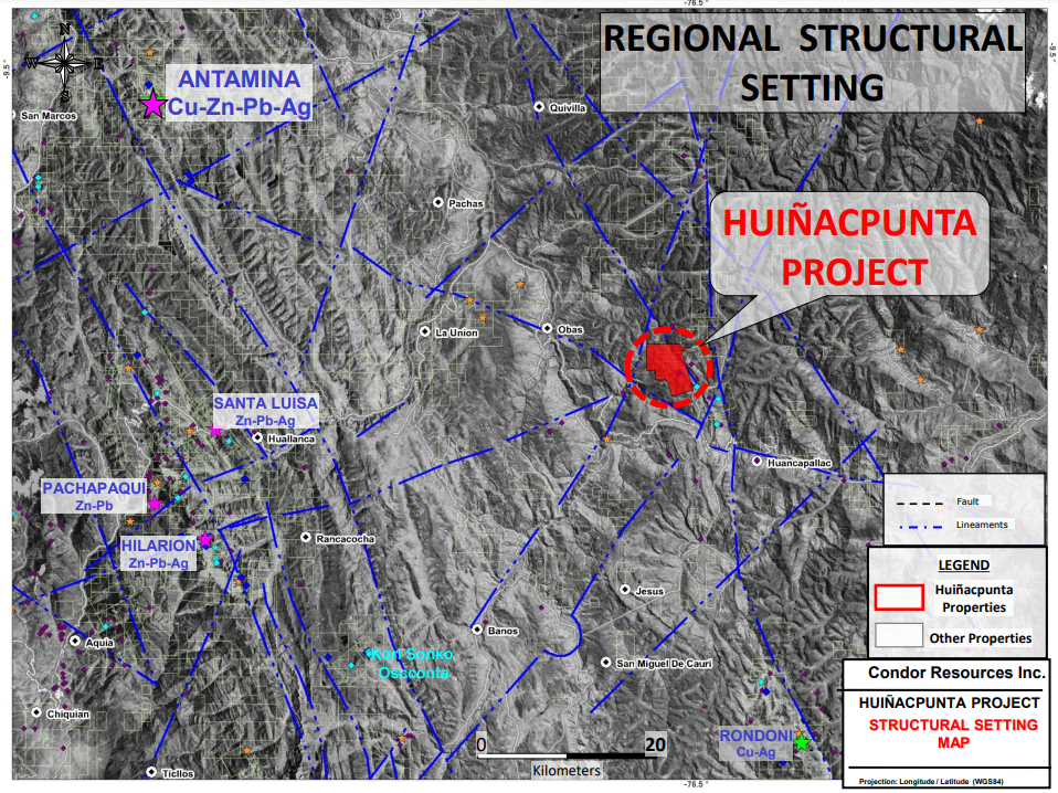
Huiñac Punta is located on the eastern flank of the Mesozoic polymetallic carbonate sediment host belt in north-central Peru at elevations ranging from 3800 to 4400m, approximately 260 km north-northeast of Lima in the Department of Huanuco. Huinac Punta is about 65 km south-east of the Antamina mine, and about 90 km east of the Company’s Soledad project. The project was acquired by staking in 2016 at nominal cost.
The 20 sq km project (approximate) is 100% owned by Condor, subject to a 0.5% NSR held by Sandstorm Gold Ltd.
Recent Work:
In November 2020 a detailed ground geophysical survey was completed at Huiñac Punta. The Induced Polarization (“IP”) survey consisted of approximately 16 line kilometers, comprised of 8 lines, each 2km in length, line spacing at 100m, with multi-dipole spacing of 50m.
In August Condor had completed a drone supported magnetic survey at Huinac Punta. This survey covered the area of interest and vicinity using 100 m line spacing, and a total of 84 line kms were completed.
The IP survey was designed to assist in defining the geometry of a postulated carbonate replacement system (“CRD”) system, and to compliment data obtained from the magnetic survey conducted in August. The primary objective of the combined geophysics programs is to prioritize targets for a maiden diamond drill program.
Overview:
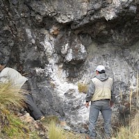
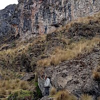
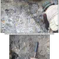
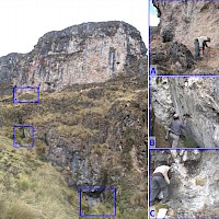
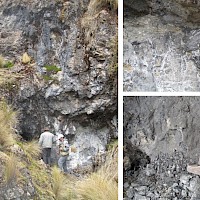
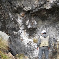
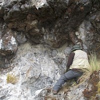
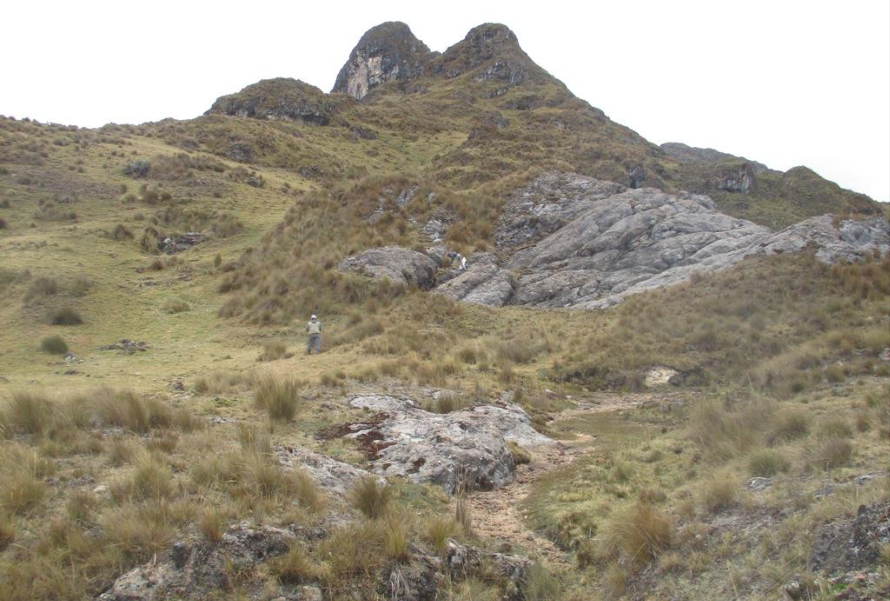
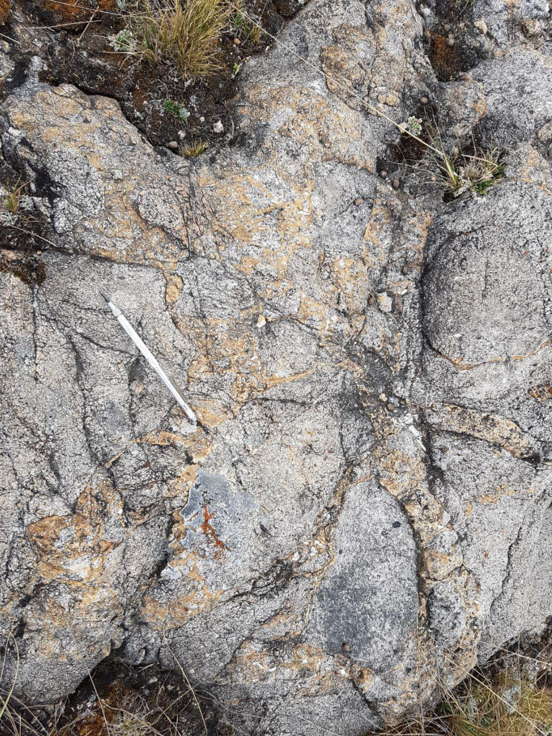
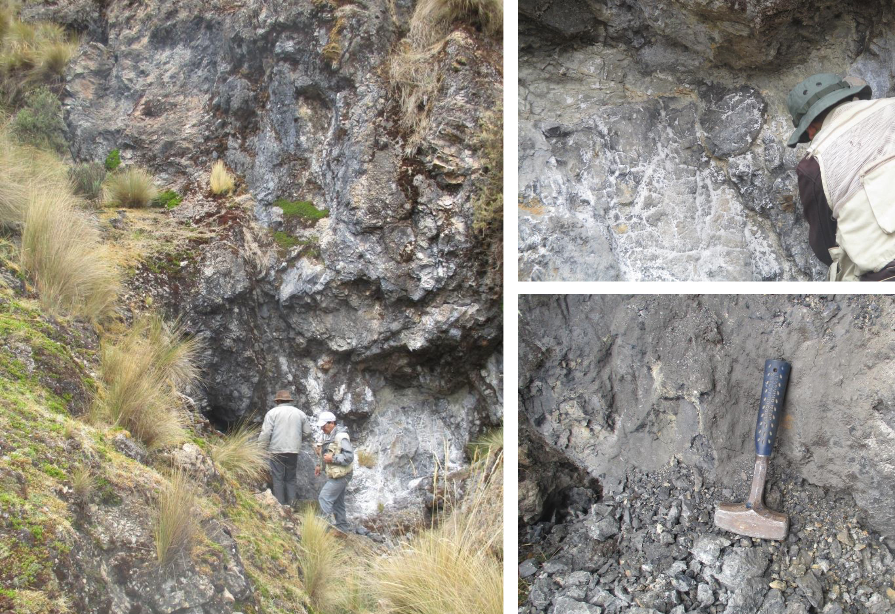
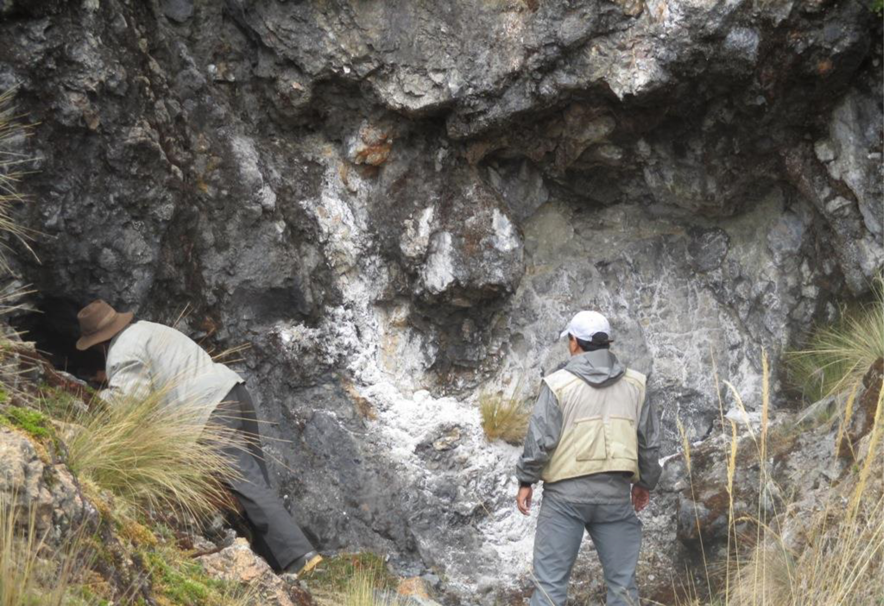
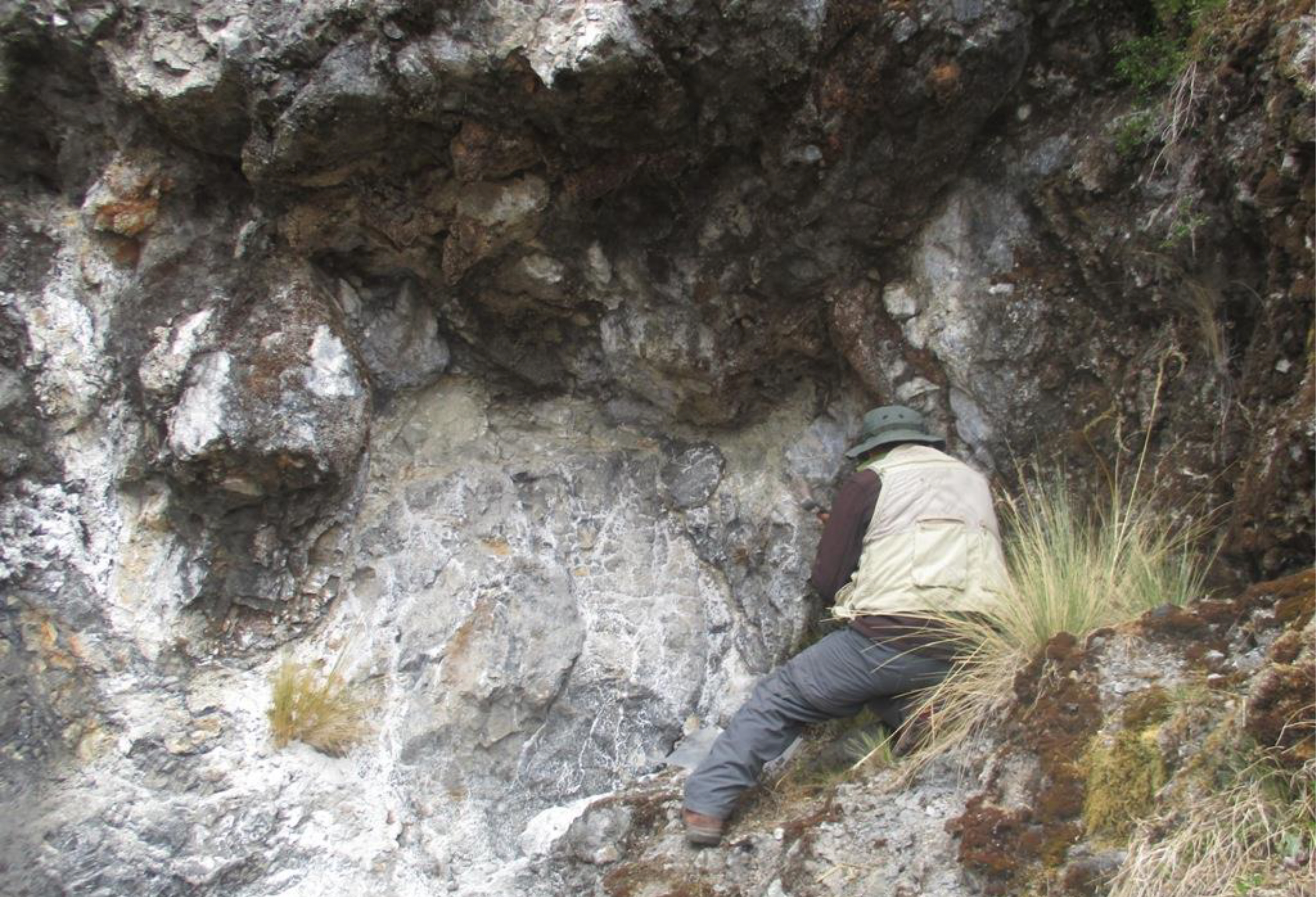
Huiñac Punta is interpreted to host potential for discovery of a large, high-grade carbonate replacement style silver-dominant polymetallic mineralization. Based on existing surface exposures, mineralization, which includes high-grade Ag and elevated Cu, Zn and Pb values, Huinac Punta is interpreted to have both blanket-like and pipe-like characteristics.
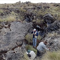
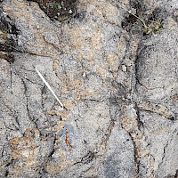
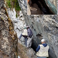
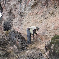
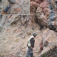
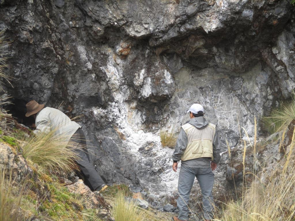
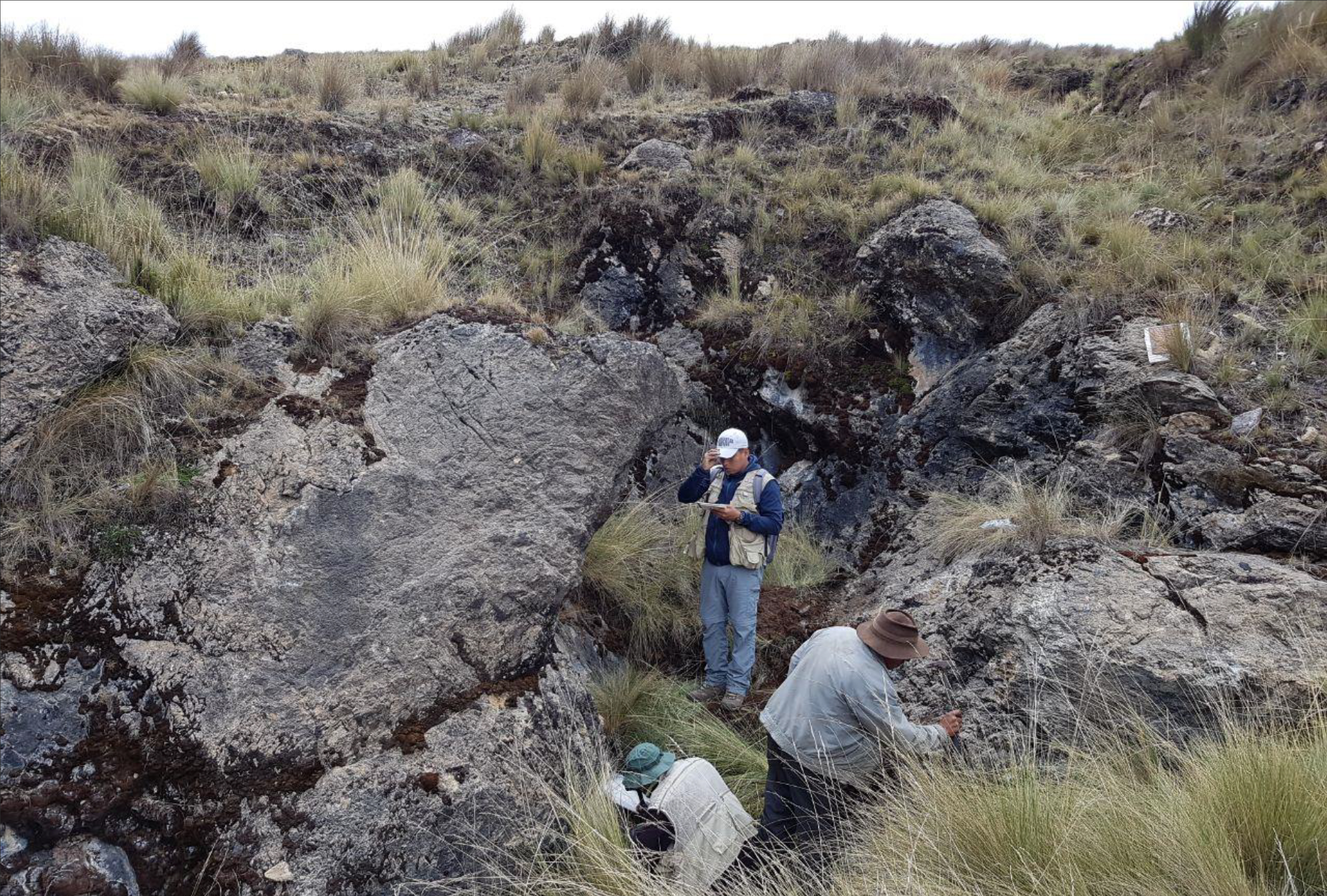
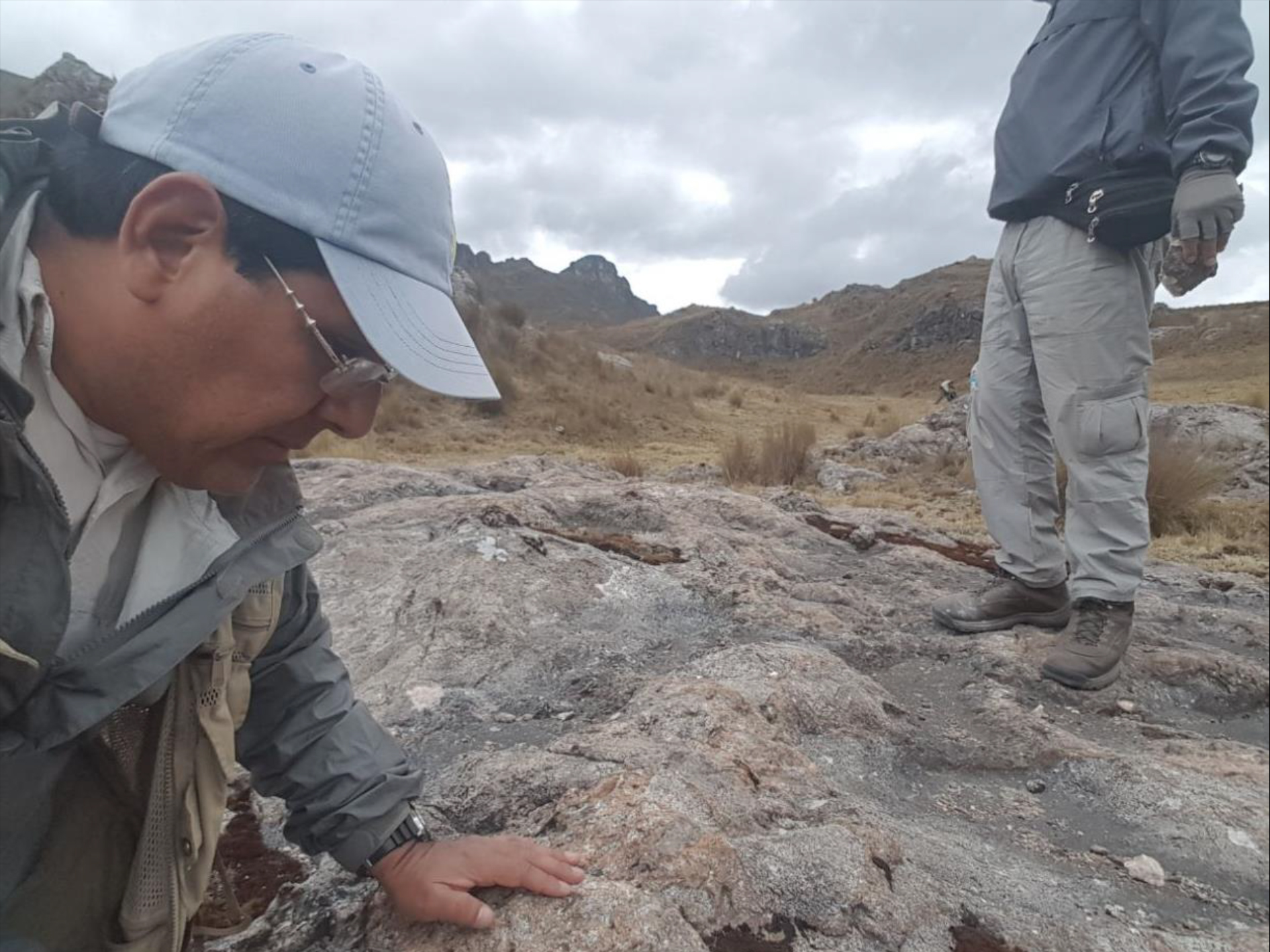
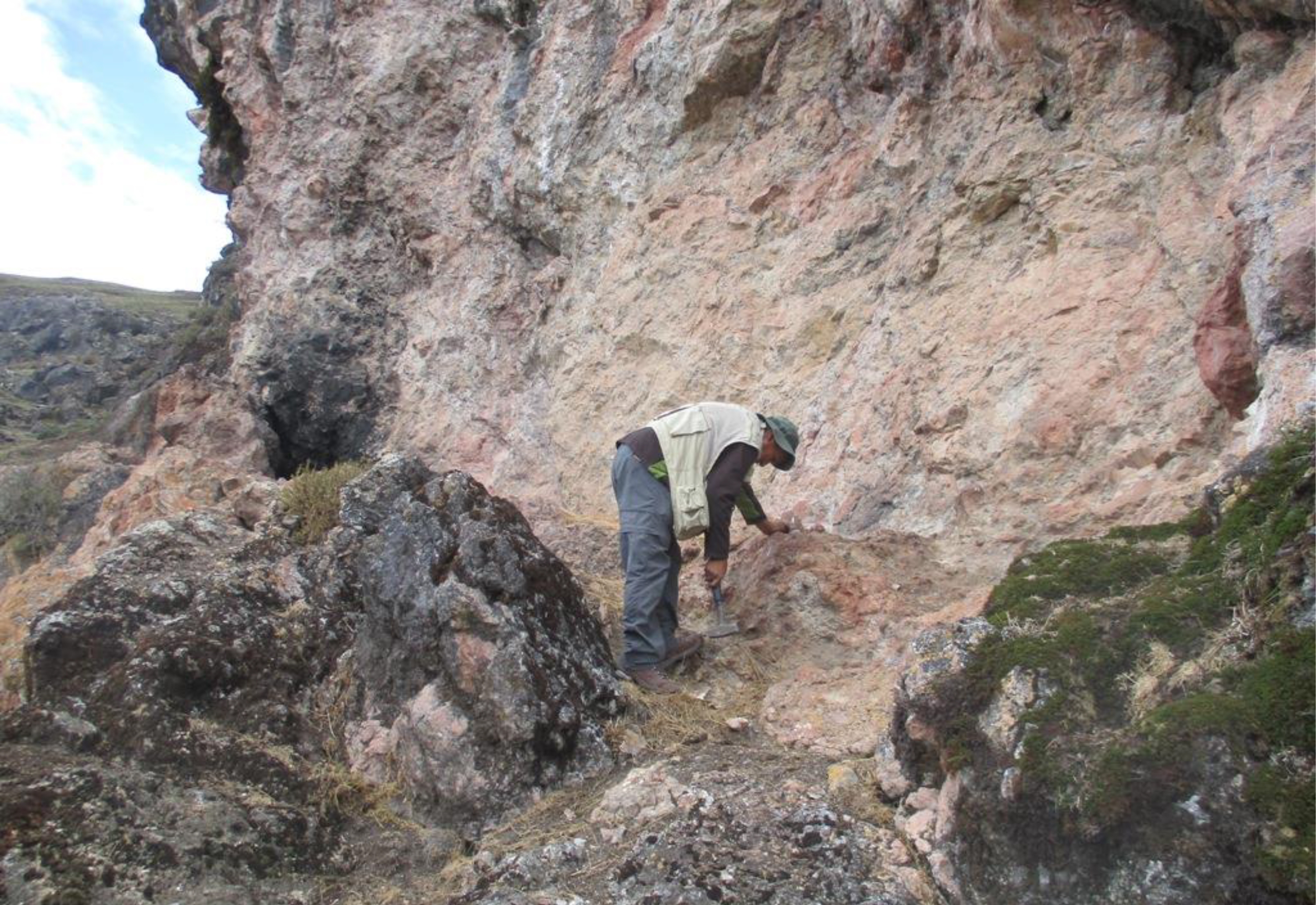
Field observations reported that in the lower limestone sequence, mineralization has replaced certain limestone beds in contact with a granitic intrusion to form stratabound zones of pervasive silicification associated with high percentages of disseminated dark sulphides and oxides. In the upper limestone sequence, we have observed brecciation and decalcification associated with sporadic silicification, sulphides and oxides.
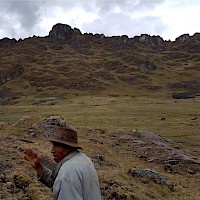
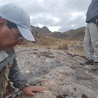
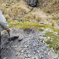
In October 2017 an initial reconnaissance and sampling program was undertaken by Condor, and the results were summarized in a January 9, 2018 press release. A total of 26 rock chip channel samples were collected over an area of interest approximately 500m by 800m. Eighteen of the twenty-six samples were 2m long rock chip samples from outcrop/bedrock, while eight of the samples were 1m long rock chip samples taken from rocks in dump piles, which rocks are assumed to have been sourced from the old adits. As the rock chip samples were selected samples taken from outcrop/bedrock, or from the rocks in the dump piles, they may not be representative of the mineralization hosted on the project.
Five of the samples reported high silver values (greater than 500g/tonne); with the highest silver values (4115 g/tonne and 3225 g/tonne) recorded in the bedrock samples. Anomalous copper results were also noted, with reported values up to 2.7% copper (dump sample). Anomalous zinc values were present in all samples, up to a value of 0.6% zinc (bedrock sample), and anomalous cobalt up to 0.3% (dump sample).
A follow up program of mapping and sampling was completed in March 2018, and a further 145 rock chip samples, (typically 2m long rock chip samples), were collected, and results issued by news release April 19, 2018. The follow up sampling confirmed the mineralized system hosts potential for discovery of a bulk tonnage, disseminated silver-base metal deposit, related to brecciation and silicification in a metasomatic carbonate replacement type model.
